
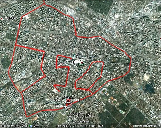
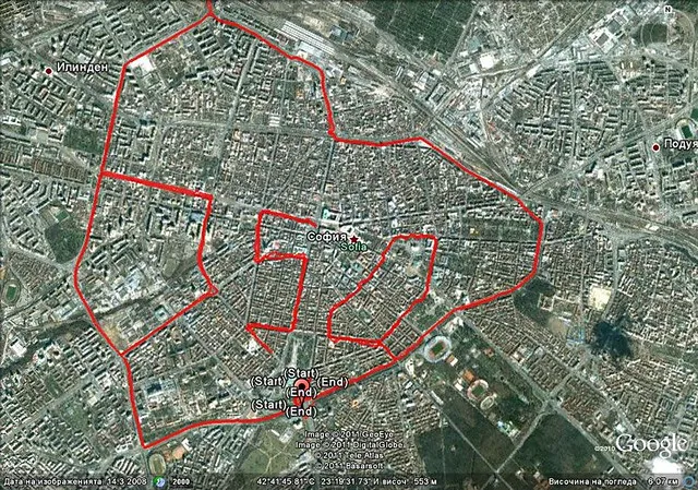
Here's the GPS track of a 350km cycle extravaganza through the Bulgarian city of Sofia. Organizers report "huge media coverage."
Related blogs
News, stories, and insights from the global climate movement.

Grassroots Comics for Climate Justice
Written by Tanzanian cartoonist Nathan Mpangala, the blog details a two-day Grassroots Comics on Climate Action workshop held on October in Dar es Salaam. The initiative was part of the REPower Tanzania campaign, supported by 350 East Africa.
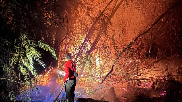
Indonesia’s wildfire crisis cannot be business as usual
Every wildfire season, I watch the smoke arrive. This year, the fires have gotten worse.
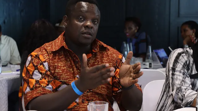
Why Africa's fight for Climate Reparations should question historical structural Injustices
Despite contributing under 4% of global emissions, Africa faces the worst climate impacts. At a symposium in Mombasa, Kenya, leaders call for historical polluters to pay $170 trillion in climate reparations, not as voluntary charity but a binding legal liability.
